
Surveying & Mapping
Precise, reliable survey data is the foundation of every well-executed infrastructure project. Masatha's experienced surveying team delivers topographic, control, and underwater surveys across Iraq and Kurdistan Region using professional-grade equipment and proven field methodologies that engineering teams and project developers can build on with confidence.


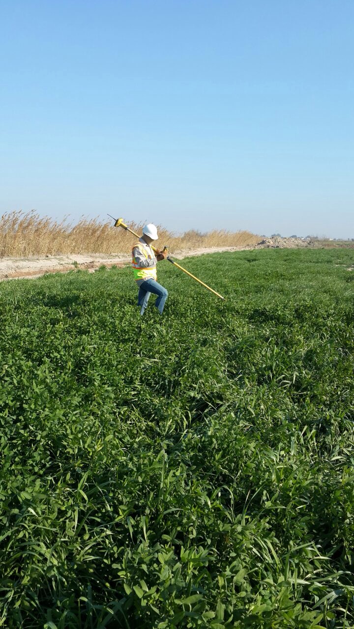
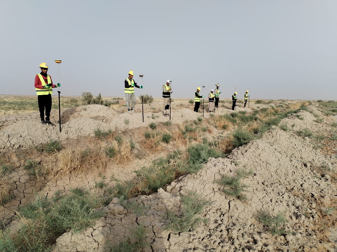

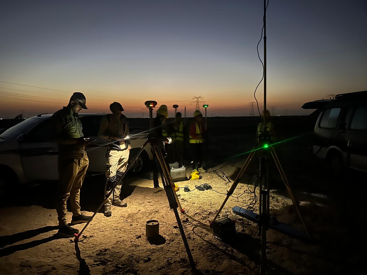


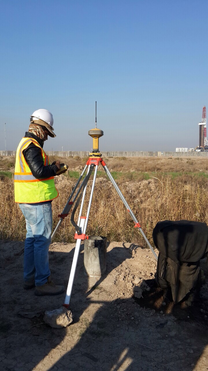
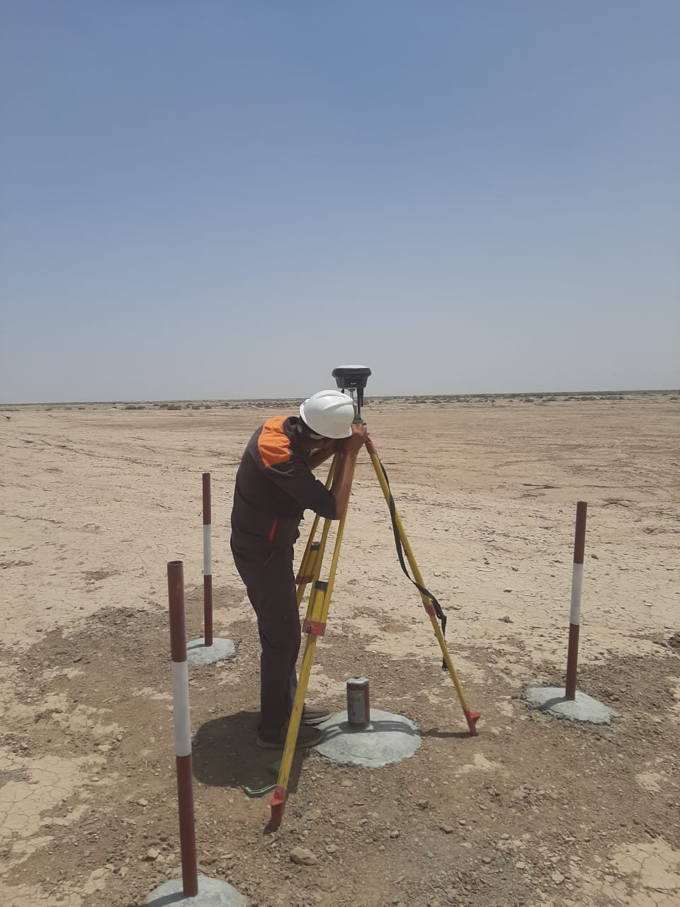
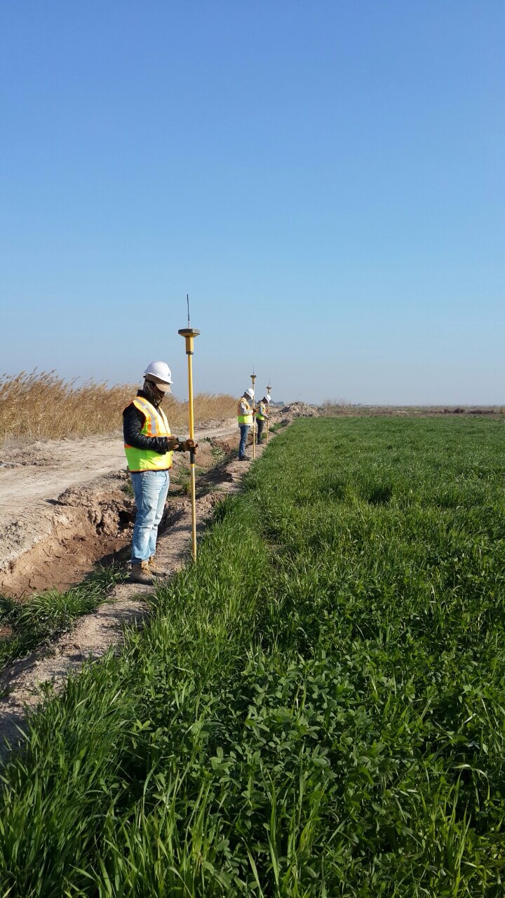


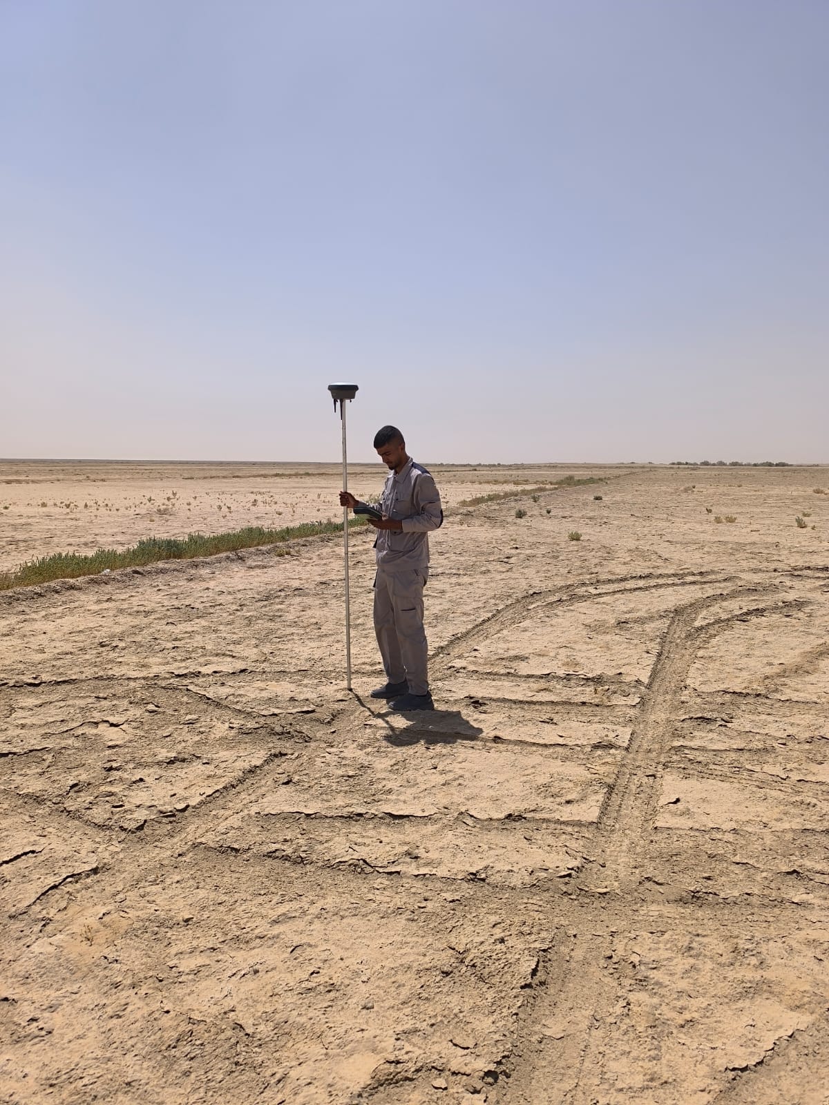
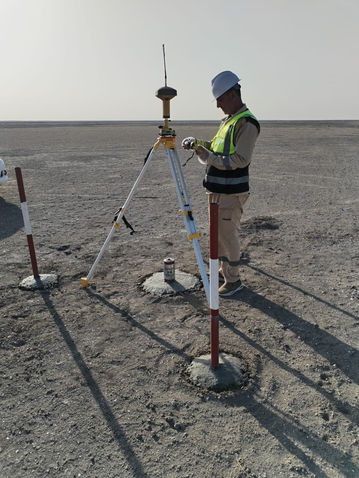




What we offer
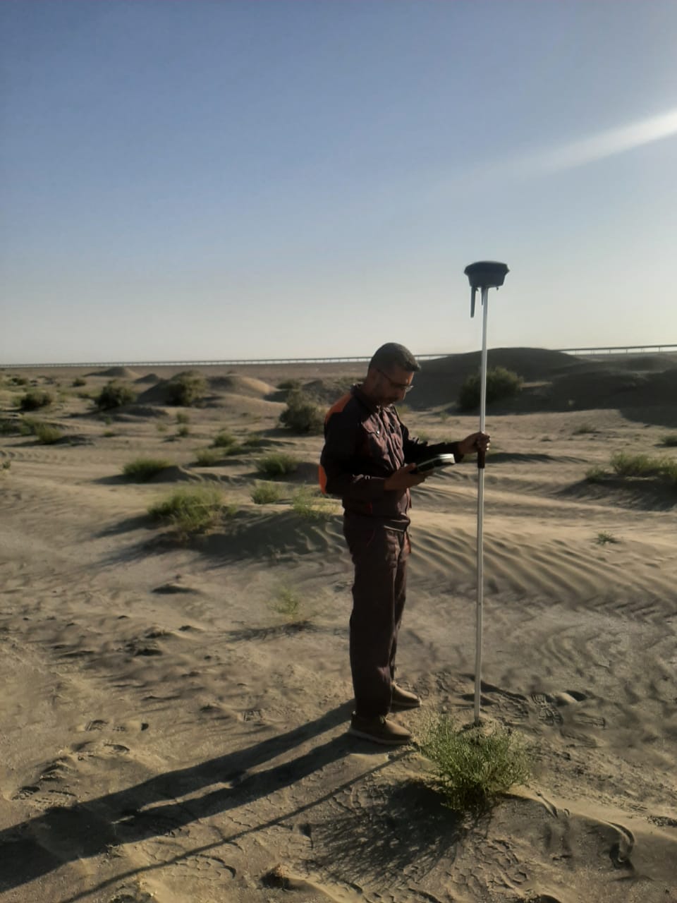
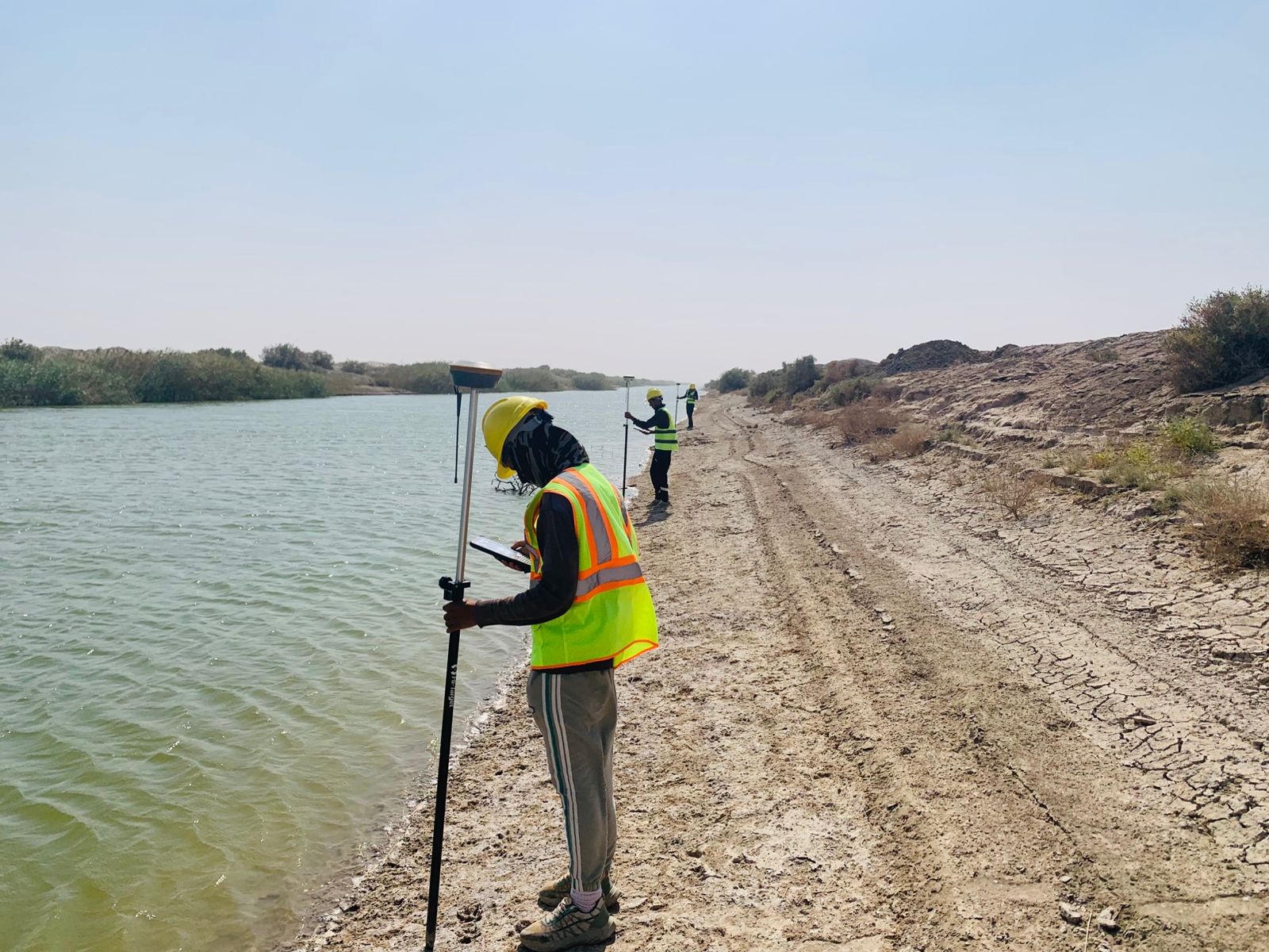
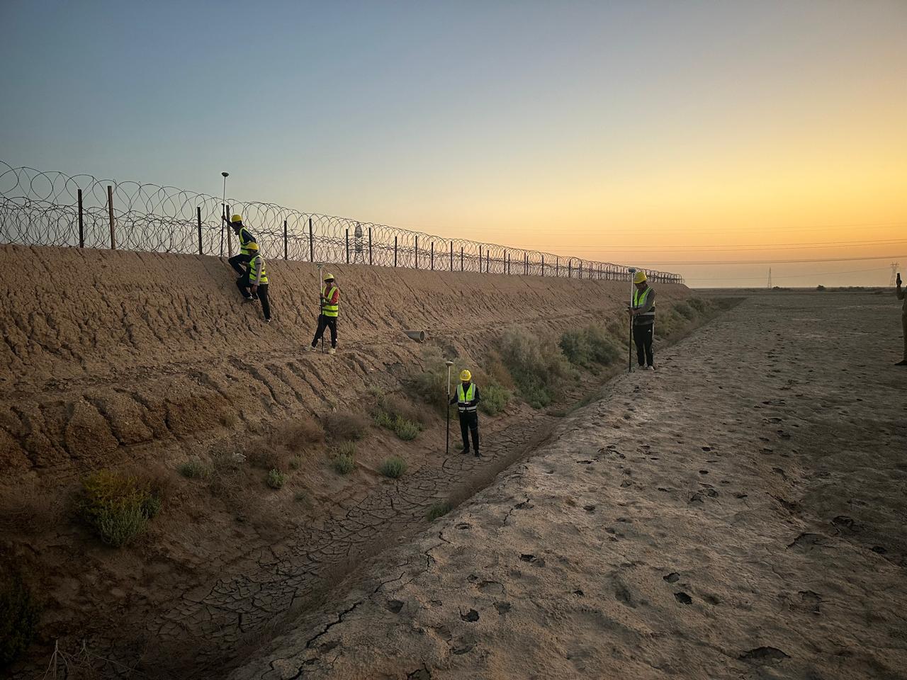
Our surveying team has been active since 1989, with a long project history spanning dams, pipelines, roads, drainage networks, railways, and large-scale land development across Baghdad, Kurdistan Region, Mosul, and southern Iraq.
Topographic surveying
Detailed contour and surface surveys for dams, roads, canals, drainage networks, and development sites providing the accurate terrain data that design relies on.
Setting out & installation works
Precise setting out of structures, pipelines, and civil works on site, ensuring construction proceeds accurately against design coordinates and levels.
Pipeline & cross-section surveys
Route surveying and cross-sectional profiling for oil, gas, and water pipelines, including corridor mapping and longitudinal section production for design use.
Control point surveying (DGPS)
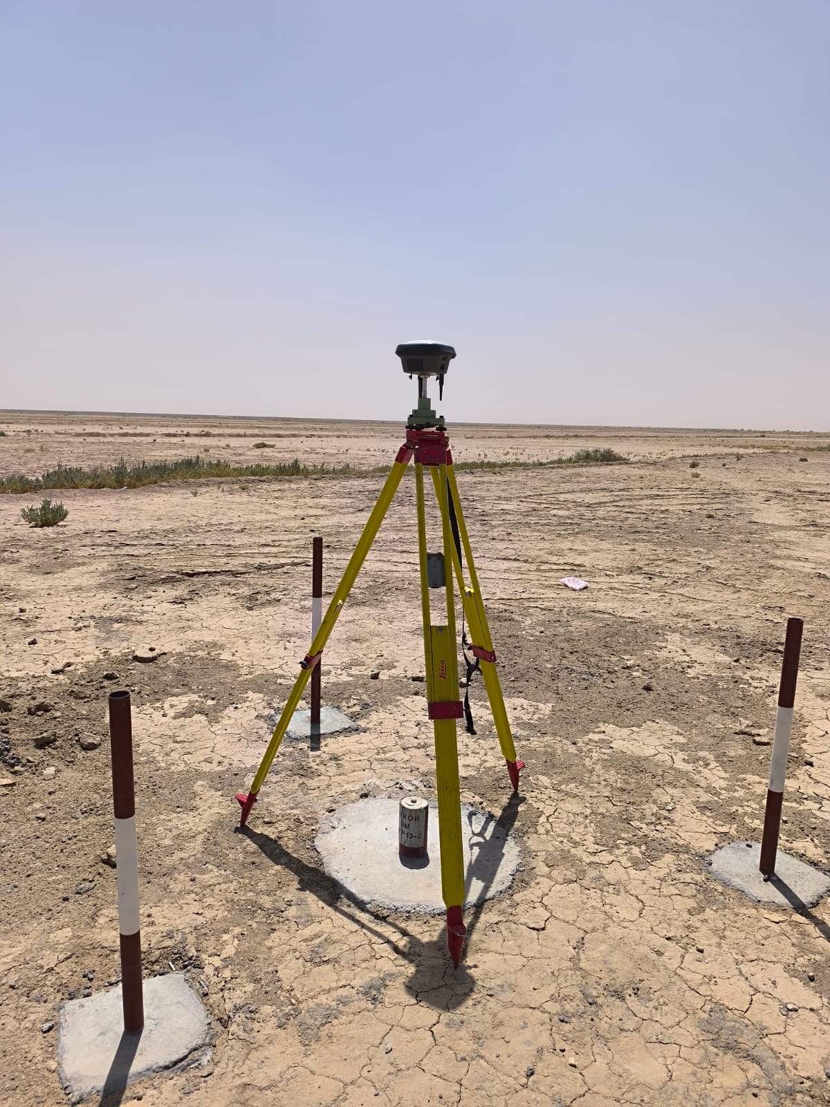
Establishment and observation of geodetic control points using DGPS static method, providing the precise coordinate framework for large-scale infrastructure projects.
Underwater surveying
Bathymetric and underwater surveys for dam reservoirs, river crossings, and submerged infrastructure a specialist capability with a demonstrated project track record.
Excavation level & road design surveys
Survey support for excavation works and road design, including levels, alignments, and cross-sections required for earthworks and pavement design.
Our Approach
Mobilization & control establishment
We begin every survey by establishing a reliable geodetic control network from which all subsequent measurements are referenced and checked.
Field data collection
Survey data is collected systematically using total stations, DGPS, and level equipment with field checks carried out throughout to catch errors before they propagate.
Data processing & quality review
Collected data is processed, adjusted, and reviewed for consistency before being used to produce drawings, models, or reports.
Drawing production & delivery
Final survey outputs topographic drawings, cross-sections, profiles, and coordinate data are delivered in the format required by the design team or contracting authority.
Credentials & capability
Our surveying team consists of three surveying engineers, one civil engineer, and four experienced surveyors supported by a comprehensive inventory of professional instruments from Topcon, Leica, and Sokkia.
Topcon DGPS GR-3
Topcon Total Station 7500
Topcon Total Station 235
Leica Total Station 1203
Sokkia Total Station
Garmin Navigator GPS
All instruments are maintained and calibrated to current standards. Survey work carried out in support of laboratory or design services is coordinated under our IQAS-accredited framework, ensuring full technical consistency across the project scope.